
Land intelligence · · 4 min read
Satellite Land-Cover Mapping for Agriculture: A Practical Guide
A useful land baseline does more than produce a colourful map. It defines the area being assessed, the date of the evidence and the decisions that the evidence can support. Satellite land-cover mapping helps agriculture teams organise that baseline before they move into land suitability, restoration planning or project development.
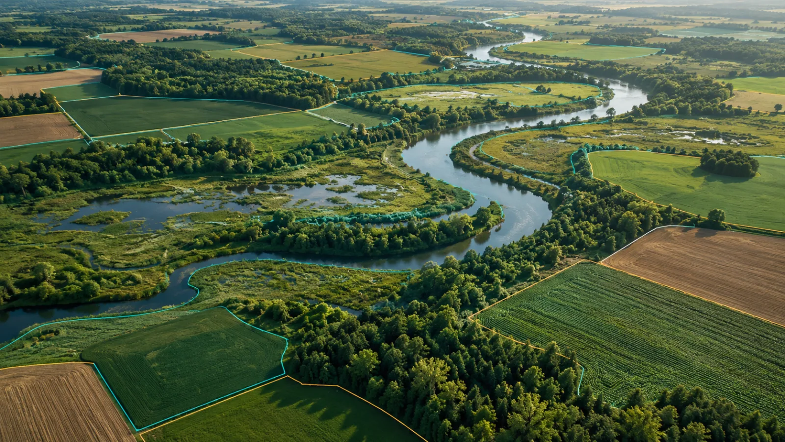
Educational guide. Dataset selection and validation must match the intended decision; no site-specific assessment is presented.
What is satellite land-cover mapping?
Land-cover mapping describes what physically covers the ground: vegetation, crops, buildings, exposed soil or water. Land use asks a different question: how people manage that ground. A wooded area might be natural forest, a plantation or a perennial crop system; the cover class alone does not establish which activity is taking place. Keeping these distinctions visible prevents an early screening result from becoming an unsupported commercial claim.
Start with the decision, not the image
Before choosing a dataset, agree on the purpose of the assessment. Is the team comparing territories, screening potential farm sites or establishing a programme baseline? Each task needs a clear boundary and reference period. A province-wide inventory cannot substitute for a farm-level survey, and a historical map should not be presented as a current observation. Record who approved the boundary and preserve the original geometry alongside any processing version.
Which land-cover classes should be reported?
An agricultural baseline commonly distinguishes tree cover, shrubland, grassland, cropland, built-up areas, bare or sparsely vegetated land, permanent water and herbaceous wetlands. Use the selected dataset's class definitions rather than informal labels. If additional classes or unclassified pixels occur, report them separately so that the area balance remains transparent. A satellite class is an interpretation, not a guarantee about every parcel.
Choose a dataset with a known reference year
ESA WorldCover provides global land-cover products for 2020 and 2021 at 10-metre resolution, derived from Sentinel-1 and Sentinel-2 observations. These products can support a documented historical baseline. A recent assessment needs a separately defined observation window and validation approach; changing the report date does not update the underlying imagery. Dataset version, access date and processing method should travel with the results.
Dataset reference: ESA WorldCover data access and product documentation.
How to calculate land-cover area in hectares
Intersect the classified raster with each approved territory boundary and sum the ground area assigned to each class. Use a suitable equal-area projection or geodesic pixel-area calculation: counting pixels on a latitude–longitude grid without accounting for their varying ground area can introduce error. Divide square metres by 10,000 to obtain hectares. State how boundary-edge pixels, missing data and rounding are handled, then reconcile the class totals against the analysed area.
What a decision-ready baseline should contain
A map without provenance is difficult to reuse. Each territory needs a readable legend, boundary reference, scale, reference year and dataset citation. The accompanying statistics should include hectares and percentages, a clearly defined denominator and any no-data area. A consolidated summary makes territories comparable only when the same class definitions and processing rules have been applied. Provide machine-readable results so future work does not depend on copying figures from a PDF.
Validation turns a map into usable evidence
Check a representative set of locations using appropriate reference observations. Sampling should consider the classes and decisions that matter, not only convenient road-accessible points. Small plots, seasonal flooding, mixed vegetation and recent clearing can be difficult to interpret. Document uncertainty and any local disagreement rather than hiding it. A global accuracy measure should not be treated as the accuracy of an individual territory.
A baseline is not a suitability or carbon certificate
Land cover does not establish land ownership, consent, protected-area status, water rights, soil suitability or carbon-credit eligibility. These require additional evidence and, where relevant, qualified specialists. A responsible workflow links the mapping output to the next review task without claiming that mapping has completed that task. Public reports should also avoid exposing sensitive community locations or private landholder details without permission.
A practical handover checklist
Agree on the scope first; approve boundaries and reference year; select and document the dataset; calculate areas consistently; review representative locations; reconcile totals; then release maps, statistics and limitations together. Version the evidence so a later update can be compared fairly with the original baseline.
Where CONSAI fits
CONSAI Agro & Energy OS connects agriculture, energy and climate workflows around structured participation and project context. A land assessment brief can help define the evidence required before technical and commercial discussions proceed. It should identify the intended decision, geography, available boundaries and required outputs—not promise a fully automated or field-verified study before its scope has been reviewed.
Frequently asked questions
Can a land-cover map show which crops are grown?
Not necessarily. A broad cropland class does not identify a crop species or yield. Crop-specific interpretation requires suitable observations, methods and validation.
Can we compare two land-cover maps to measure change?
Only with care. Differences can reflect classification methods or dataset versions as well as real change. Use a documented comparison method and review apparent changes before making claims.
Take the next structured step
Start with the relevant role and an accurate description of your requirement.
Explore CONSAI field intelligence →Learn about carbon MRV →Define your assessment requirement →